

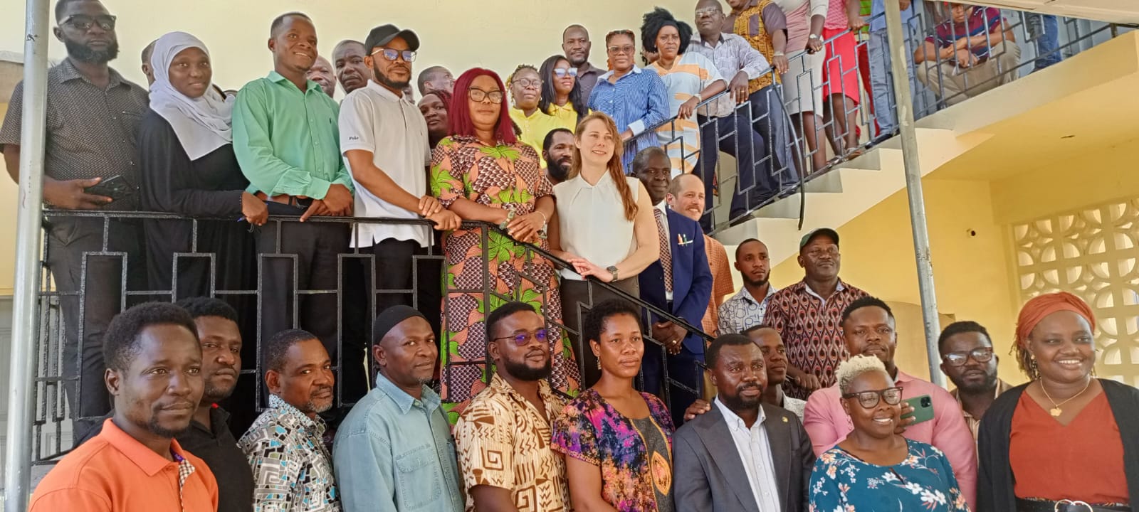
Monrovia – The Environmental Protection Agency (EPA) of Liberia, in collaboration with Novasphere, has launched a one-week geospatial training program aimed at enhancing forest monitoring capabilities.
Hosted at the University of Liberia’s main campus in Monrovia, the training equips participants with advanced skills in forest mapping and monitoring using cutting-edge digital tools.
The initiative is part of the Transformative Pilot Project on Forest and Mangrove Monitoring, funded by the Government and people of Canada through Novasphere.
Bringing together over 50 participants from the EPA, the Forestry Development Authority (FDA), and representatives from The Gambia, the workshop focuses on open-source geospatial tools such as Google Earth Engine (GEE), the System for Earth Observation, Data Access, Processing, and Analyzing for Land Monitoring (SEPAL), and Collect Earth Online. Participants are also introduced to machine learning techniques for forest mapping, supporting the development of an updated baseline forest extent map for Liberia.
At the opening ceremony, EPA Executive Director Dr. Emmanuel Urey Yarkpawolo underscored the significance of Liberia’s forests, which cover approximately 69% of the country’s land area and serve as a crucial carbon sink.
“Liberia is home to over 43% of the remaining tropical forests in the Upper Guinea Forest region,” Dr. Yarkpawolo noted. “These forests play a vital role in biodiversity conservation and climate change mitigation.”
He also stressed the urgency of establishing a climate change law and a carbon market policy to leverage global carbon trade opportunities, revealing that efforts are underway to recruit a consultant to draft the policy and a law firm to develop the legislation.
Dr. Yarkpawolo expressed appreciation for the support Liberia has received, highlighting the recent acquisition of two advanced drones for forest monitoring.
Beyond forest monitoring, he pointed to an ongoing learning exchange program in The Gambia, where Liberian energy professionals are studying net-metering—a system that enables independent renewable energy producers to contribute surplus electricity to the national grid, promoting renewable energy adoption and lowering electricity costs.
Welcoming participants, Dr. Yarkpawolo extended special thanks to trainers from the United States and The Gambia, expressing confidence that the training will enhance Liberia’s ability to manage its forest resources effectively.
Providing an overview of the training, J. Negatus Wright, Pilot Lead Coordinator for the Transformative Pilot on Forest and Mangrove Monitoring at Novasphere-EPA Liberia, addressed capacity gaps in Liberia’s forest management sector, stressing the need for effective policies to bridge them.
He emphasized that equipping Liberian stakeholders and professionals with advanced skills will empower the country to generate critical data for national decision-making and fulfill international reporting obligations, including greenhouse gas (GHG) reporting to the UNFCCC.
“At the end of this training, we expect all participants to gain expertise in using drones, GIS, and remote sensing to monitor Liberia’s forest and mangrove landscapes,” Wright stated. “Addressing the capacity gap is our priority.”
Wright also highlighted that the training will enhance institutional coordination among key government agencies, including the EPA, FDA, Liberia Institute for Statistics and Geo-Information Services (LIGIS), Ministry of Mines and Energy, and other relevant bodies.
He further urged the Liberian government to establish a domestic measurement, reporting, and verification system to boost donor confidence in the country’s climate finance initiatives.
“For Liberia to attract continued support, all branches of government, ministries, and agencies—including the national legislature—must collaborate. With strong policies and national experts collecting accurate data, the doors to funding and technical assistance will remain open,” he explained.
Liberia’s forests are essential for biodiversity conservation, climate regulation, and community livelihoods, but effective management requires updated and locally tailored forest extent maps. The 2014 forest map currently in use needs revision with methodologies suited to Liberia’s unique forest conditions.
The one-week workshop aims to address these challenges by equipping participants with hands-on skills in machine learning and geospatial tools such as Collect Earth Online (CEO). It follows a virtual session in October 2024, titled “Interpretation Keys and Project Planning”, and will be succeeded by additional in-depth workshops on forest monitoring.


Discussion about this post